Summer storms aren't denting drought
Summer storms aren't denting drought
July 14, 2015
Sacramento News10
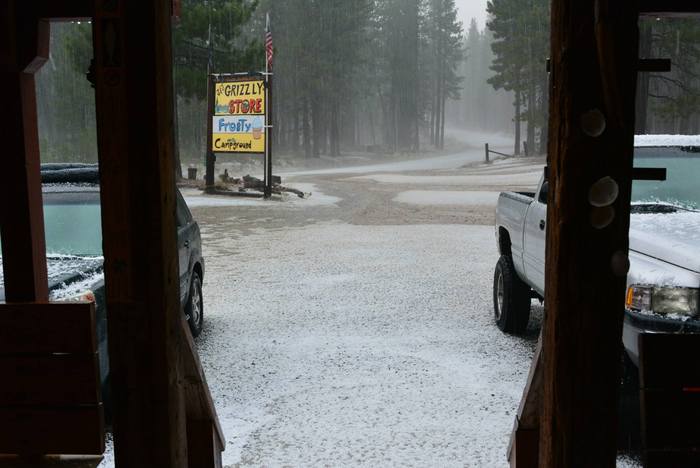
Summer storms in the Sierra have brought everything from thunderstorms to snow. The unseasonably cool and stormy weather has some folks wondering if this wet weather might be helping the California drought.
There are two indices that track mountain precipitation, the Sierra 8 Station Index and the San Joaquin 5 Station Index. Both of these indices have fallen well below average for precipitation the last three years. Big gains were needed during the 2014-15 water year, which runs Oct. 1 to Sept. 30.
The 8 Station Index averages 50 inches a year. This station was already running a three-year deficit of 33.39 inches as of October 2014; therefore, the combined total precipitation needed by Oct. 1, 2015 is 83.39 inches. So far, there has been 36 inches -- which means 47.39 inches is still needed to catch up to normal.
The San Joaquin 5 Station Index averages 40.80 inches a year. The three-year deficit for this station is 50.59 inches, meaning a total of 91.39 inches would need to fall by Oct. 1, 2015. Only 17.70 inches of precipitation has fallen in this area, meaning 73.69 inches is still needed to catch up to normal.
The small precipitation gains seen in the Sierra this summer have made no impact on area reservoirs. In fact, Folsom Lake storage levels continue to fall heading toward the historic low levels of 1976-77. Looking closer to the Sierra, the Truckee River has come up less than half a foot.
This shows how important the Sierra snow is during the winter. Summer storms aren't producing anything near the amount needed to replenish the reservoirs.
Website Hosting and Design provided by TECK.net